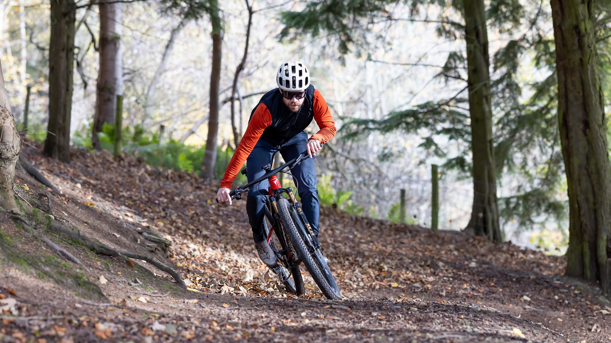
Aberfoyle/Gravelfoyle – Scotland's worst kept gravel secret?
Graham Cottingham and Matt Hawkins venture north to check out the way-marked routes of Gravelfoyle and discover more than just epic gravel riding
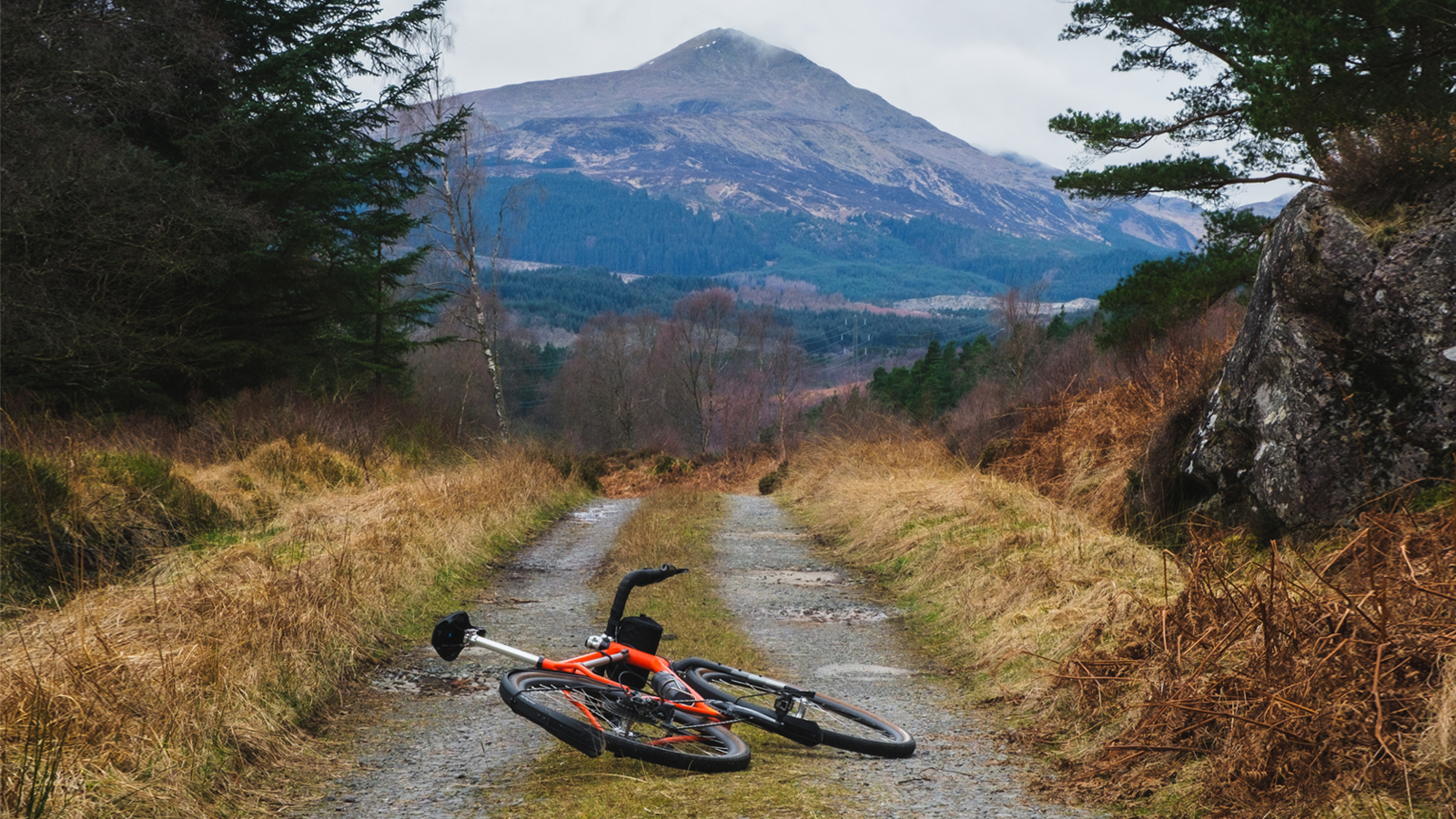
Pre-ride checks are underway as I give my tires a squeeze. Graham lifts the front end of his bike by the stem with one hand, spins the wheel with the other and brings it to a sudden stop by pulling the brake lever. I look around and see local people going about their day; sipping coffee in the cafe, collecting their morning papers from the Co-op, and I can’t help but chuckle to myself as I wonder if they know.
The car park we’re standing in is in Aberfoyle. Nestled some 50 miles north of Glasgow, on the banks of the River Forth and within the Queen Elizabeth Forest Park, it is a small, unassuming village. A local strolls down the high street, dog obediently at their side, and I wonder if they know. Are they aware that to many cyclists, Aberfoyle is but one name for the village in which we stand? The other name is Gravelfoyle – the self-proclaimed premier destination for gravel biking in Scotland and the UK – and we’re here to check out the three way-marked gravel routes that wind their way deep into the Loch Ard Forest. I give my tires one last squeeze, just for luck. The final checks are done and we’re good to go.
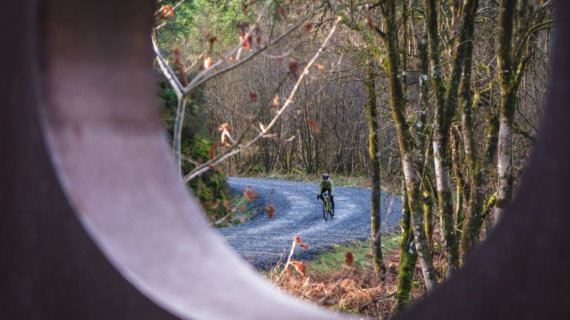
The routes we’ve come to ride today form part of the Gravelfoyle destination brand at Aberfoyle. Founded by Bike Trossachs – a community interest company driven by the aim of promoting cycling participation, infrastructure, and tourism in Aberfoyle and the surrounding area. There are three routes on offer increasing in length and difficulty: the Faerie Loop, the Aqueduct Loop, and the Lomond View Loop. The aim here is accessibility and the three way-marked routes provide riders of all abilities the opportunity to take part and explore the beautiful surroundings of the Loch Lomond and Trossachs National Park. With some 200km of gravel roads within a 12km radius of the village, we’d be lying if we said we weren’t excited about heading out on our gravel bikes and discovering what Gravelfoyle has put together.
We cycle out of the car park at the center of the village, cross a burn on a small stone bridge and we’re off the tarmac and rolling along on gravel roads. Within minutes we’ve left the village behind and it feels as though we’re already deep into the Loch Ard Forest; moss carpets the floor between the trees, lichen covers the branches and the air smells alive. We’re already looking at each other, smiles on our faces and a twinkle in our eyes that says, ‘This is going to be good’.
Fairie Loop
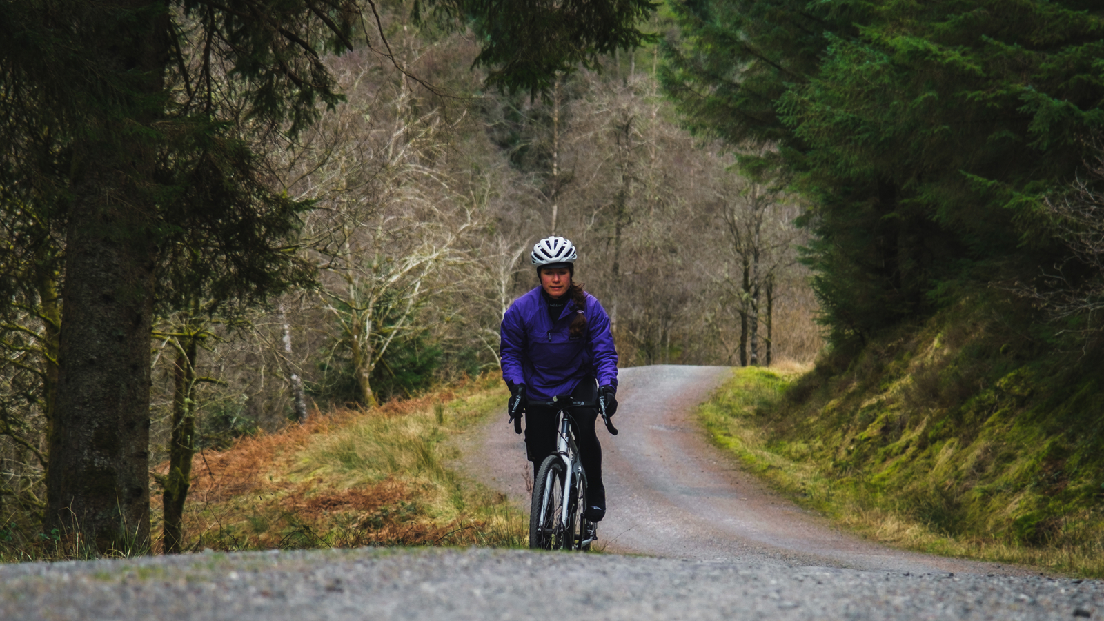
First up is the Faerie Loop. Aimed at active families and beginners, this loop is 10km long with 164m of elevation. The Gravelfoyle website lists the type of terrain you’ll encounter on each route: 1.1km of tarmac and 9.1km of fine gravel. The website also lists the hardest climbs you’ll face on each route (2km, 2.5 percent average with <100m at 10 percent for the Faerie Loop), as well as an estimated time (1 to 1.5 hours).
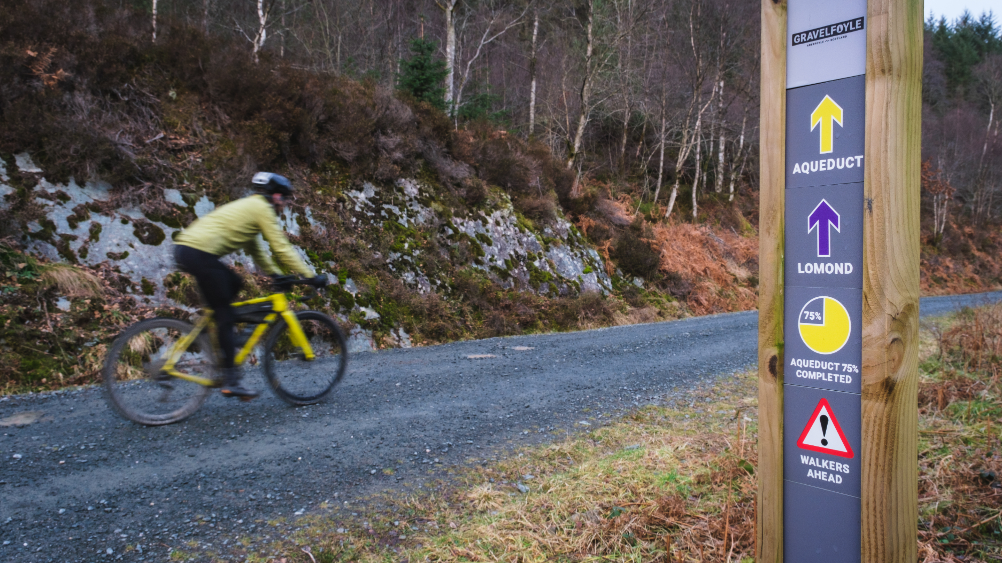
We hang a left, skirt past a vehicle gate, and notice a Gravelfoyle information plaque at the side of the gravel road. Not only does the plaque contain all of the route information found on the website, but it also displays a color-coded map of the routes, the colors matching up to the directional arrows on the way markers. As mentioned earlier, accessibility seems to be a priority at Gravelfoyle.
Even though GPX files are available on the website, the routes can easily be navigated without relying on a GPS unit (or even a smartphone for that matter) – although we would always recommend you carry a method of navigation just in case. We continue and the route gently undulates through the forest. There are moments where the trees give way to dusty, wide open spaces, and in contrast, areas where the forest seems to be closing in from both sides, the ground damp underneath and the sky no longer visible. A hairpin corner on a descent adds an element of excitement and I think if I was asked to describe the Faerie Loop in one word, it would be ‘fun’. For seasoned gravel cyclists, this would make an excellent warm-up route. For those new to gravel riding then look no further for an introduction to off-road riding. We arrive at the finish, the smiles still on our faces.
Aqueduct Loop
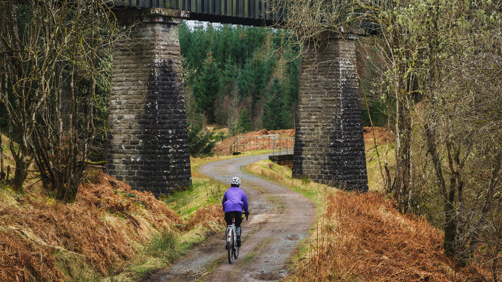
Next up is the Aqueduct Loop, named so because it extends deeper into Loch Ard Forest and passes under one of the many Victorian waterworks in the area. Ideal for e-bike exploring and recreational cyclists, the route is 20km long with 294m of climbing.
The terrain here is more varied with surfaces including course gravel and espresso singletrack. The hardest climb is 3km, 4 percent average, with <50m at 9 percent, and the estimated time suggests 1.5 to 2 hours. All three routes start and finish at the same location, however, it’s surprising how much more remote the Aqueduct Loop feels after diverging from the Faerie Loop. There are fewer walkers about. We see fewer cyclists. And the way markers are fewer as the gravel roads go on for longer.
The climbs and descents are more rugged. I find myself getting into the drops for more leverage on the brake levers for some of the downhills and reaching for lower gears on the climbs. Even though the topography provides a greater challenge, the gravel roads remain silky-smooth and we rarely have to avoid potholes.
Similarly to on the Faerie Loop we find ourselves winding through dense forest and soon it becomes a game to see who can spot a Victorian waterworks structure or building first – there’s a surprising amount of them dotted around the route. One thing we notice on the Aqueduct Loop is the ‘Route Complete Percentage’ infographics on the way markers. These tell you how much of the route you have completed – 25 percent, 50 percent, 75 percent – and are great for those who choose not to ride with a GPS (or, for those such as me who like to know how much further until lunch). We arrive back at Aberfoyle and stock up on food.
Lomond View Loop
Finally – with our calories replenished – we set off on the Lomond Loop. This is an extension of the Aqueduct Loop, so the first and last 8km or so are the same as the Aqueduct Loop. (If you were planning on riding all three routes in one day, you could ride the Lomond View Loop in reverse to minimize the amount of the route you repeat in the same direction. Note that if you did this, the way markers would be facing the opposite direction of travel.)
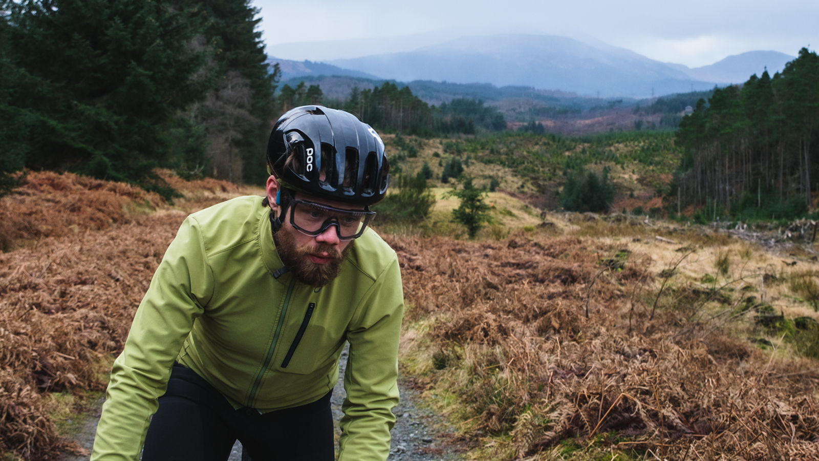
This route is aimed at more experienced cyclists and e-bikers. With 494m of climbing over 30km, and the hardest climb being 1km, six percent average with <50m at 12 percent, you’ll probably want to pack some snacks. After diverging from the Aqueduct Loop I’m reminded of off-road riding I’ve previously done in the Highlands; rocky burns wind their way alongside the gravel roads, no one is about, a buzzard swoops in and out of the corner of my eye, I wish I had a larger range of (lower) gears.
We are pedaling up one particularly long climb when we hear the low rumble of machinery approaching from behind. We pull to the side and allow two timber trucks to pass. Their drivers toot their horns in thanks and we are reminded of why most of these gravel roads exist in the first place – forestry plantations. Just when the legs start burning from the climb, the namesake of the route comes into view – Ben Lomond. At 974m high, it is the most southerly of the Scottish Munros and it stands tall and proud in the distance. It’s winter so the peak is snow-capped and it’s hard to imagine a more iconic image as we reach the halfway point of the loop and start to make our way back to Aberfoyle along a gravel road high above Loch Ard.
Back at the Aberfoyle car park, we are both grinning. Even though I’ve spent a big chunk of my life in Scotland and Graham has called it his home forever, it still never ceases to surprise me how much incredible scenery and how much unforgettable riding can be crammed into such a small part of the world.
Getting to Gravelfoyle
By car
From Edinburgh: Easily accessible from Scotland's capital, Edinburgh (approximately 50 miles), and nearby Glasgow (22 miles). Its unique location makes for an easy find from the major motorways and city airports.
From Glasgow: Follow the A81 North, which is well-signed from the city center.
From Stirling: Follow the A84, A873, and then onto the A81 West to Aberfoyle.
From Callander: Follow the A81 South to Aberfoyle or, if you want a more scenic option, you can take the A821 ‘Dukes Pass’. An iconic road climb that winds its way around the banks of Loch Achray then climbs past the shoulder of Ben Venue before dropping you straight into Aberfoyle.
By bike
For a mostly traffic-free route from Glasgow to Aberfoyle (and then on to Inverness!) check out The Badger Divide which is one of the best bikepacking routes in the UK.
By train
The nearest train stations are Dunblane and Stirling. From here it is an approximately two-hour cycle to Aberfoyle. There are plenty of accommodation options in the village should you wish to spend the weekend.
By bus
Unfortunately, there are no longer any bus services to Aberfoyle that accept bikes. Midland Bluebird operates a service from Stirling or Glasgow should you wish to hire bikes at Aberfoyle.
Local facilities
Cyclists are well catered for at Aberfoyle. There is a large car park in the center of the village with a range of food shops, cafes and restaurants nearby. Picnic benches are available for sunny al fresco dining (or the Co-op has a large canopy for when the weather takes a turn). There are also public toilets a short walk away as well as recycling facilities. While I’m not aware of any public bike tool stations, the nearby Aberfoyle Bike Hire offers repairs and bike hire. There is also a pharmacy and cashpoint in the village.
Social media
Individuals or organizations worth checking out for further information on Gravelfoyle:
https://www.instagram.com/gravelfoyle
https://instagram.com/bike_trossachs
https://www.instagram.com/handcycle_adventures/
https://instagram.com/kerrymacphee
