10 of the best USA bikepacking routes for epic adventures
American bikepacking exploration from desert to mountain top with something for every ability
- Idaho Smoke ‘n’ Fire
- Oregon Timber Trail
- Maah Daah Hey Trail, North Dakota
- Kokopelli Trail, Colorado to Utah
- Black Canyon Trail, Arizona
- Green Mountain Gravel Growler, Vermont
- Great Allegheny Passage and the C&O Canal Towpath
- Trans North Georgia
- Great Divide Mountain Bike Route (GDMBR)
- Trans-America Trail
This could easily be called 10 of the 100 best bikepacking routes in the USA – this country is made for wild, wonderful self-supported adventures, and there are trips of a lifetime in pretty much every state.
One of the astonishing things is that routes can be utterly wild yet almost 100 percent rideable on a regular gravel bike. Even the legendary Great Divide Mountain Bike Route, which often crests above 10,000ft in its 2,700 miles, fits this category. Our selection of routes spans the whole spectrum, from short two-dayers in the desert, to properly long technical mountain routes, and woodsy adventures in places you might not even have heard of.
More so than in the UK, picking the right season is everything, as is planning your transport, knowing where your water is coming from, and knowing how to fix your bike 100 miles from anywhere. Backcountry bivvying options are endless; in some places you’ll need a permit. You’ll also find simple campsites more often than in the UK. If you're after British adventures though, you may well be interested in our 10 best UK bikepacking routes article.
One of the really nice things about bikepacking is the online community, so there’s often plenty of opportunities to find out about the logistics and trails in detail, including conditions on the ground and potential diversions.
Let’s go!
Northwest
Idaho Smoke ‘n’ Fire
418 miles, 35,700ft, 4+ nights
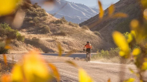
Glacial valleys, thermal hot springs, bears… this ride has it all. It’s only occasionally technical but it’s an endless series of climbs and descents, reaching 9000ft, and includes a couple of long stretches of hike-a-bike, so you’ll need to be fit. The route heads out east from the relaxed city of Boise, towards the Sawtooth Mountains and takes you through sagebrush, ancient forest, valley edges and wild open spaces, on quintessential smooth gravel, singletrack and forgotten access roads. Camping spots abound, so you can ride till you drop, and if you're lucky, you’ll see elk and moose, and maybe even the sockeye salmon that used to swarm to Redfish Lake.
- Three words: Physical, stunning, accessible
- What bike: MTB
- How remote: For long periods it’ll just be you, the animals and the climbs, but there are a few useful resupply spots.
- Getting there: This a loop based from the small city of Boise, which has an airport
- Best times: July to September
- Route details: Idaho Smoke ‘n’ Fire
Oregon Timber Trail
670 miles, 66,000, 15-25 nights
Possibly one of the most exciting MTB bikepacking routes in the USA, this was designed from scratch for two wheels and is over 50% singletrack. Oregon is blessed with ancient forests dripping with moss, stunning volcanic peaks, prairies, swimming holes and hot springs, and this route gives you them all. Most people start on the California border, where you’ll start with miles of high, open singletrack and endless views of some of the biggest mountains in the state, and then you’ll work north through a fabulous range of ecosystems towards the Cascade Range and the Washington State border.
Bivvying spots and campsites are plentiful, and you'll dip into a number of welcoming points of civilization, including the mountain biking hotspot of Oakridge around halfway… you really might want to take your time and linger.
The official notes describe the trail as “strenuous, technical, challenging, complicated and barely existent in some sections.” It will certainly be a ride of a lifetime.
If 670 miles is a smidge too much for you, there are lots of ways to enjoy bits of the trail - this 120-mile loop is easily accessible from Portland, for instance: Anaxshat Passage.
- Three words: Natural singletrack heaven
- What bike: MTB - hardtail or full-suss
- How remote: The route is often high, and the longest stretch between resupply is 100 miles, but there are also many welcoming pockets of civilization.
- Getting there: Driving, public transport and shuttles
- Start and finish: Lakeview to Hood River, Oregon (south border to north border)
- Best times: Late summer and autumn
- Route details: Oregon Timber Trail
Midwest
Maah Daah Hey Trail, North Dakota
158 miles, 15,000ft, 3-4 nights
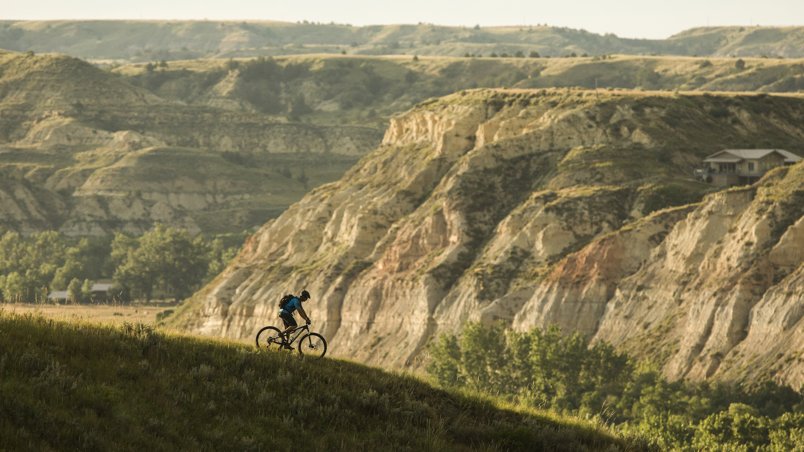
The North Dakota Badlands are an extraordinary maze of striped-rock canyons and grasslands - classic Western movie territory. This beautiful singletrack ride weaves through them and will feel like an endless geology and nature lesson. You’ll go from open swaying grasslands into steep-sided valleys, along ridges and even through cool groves of cottonwood trees - a welcome respite from the heat if you go in summer. Animals abound, including elk, bighorn sheep, prairie dogs and antelope, and red tail hawk and even golden eagles may soar above.
It’s crisscrossed by gravel tracks so you could break it down into day-rideable chunks, but the opportunities for sleeping under the stars, and the campsites along the way make this cry out as a classic bikepacking adventure.
A few of the climbs are almost definitely too steep to ride, but this is a generally doable ride, even having marker posts in many places. It’s not a pushover though - you’ll need to plan your logistics well, there are a couple of significant river crossings, and it’s worth planning to avoid rainy periods - the region’s infamous bentonite clay is death to drivetrains.
- Three words: Cinematic, wildlife, singletrack
- What bike: MTB
- How remote: Weather can change suddenly, and you’ll need to take food for the whole trip, but campsites provide water
- Start and finish: South of Medora to the south of Watford City, North Dakota
- Getting there: Dakota Cyclery in Medora offers a heap of shuttle options, included deluxe supported trips
- Best times: April to June, and September to November
- Route details: Maah Daah Hey Trail
Southwest
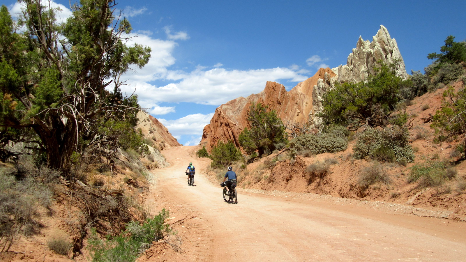
Kokopelli Trail, Colorado to Utah
142 miles, 15,000ft, 2-4 nights
Joining two meccas of MTB, this high desert route is a longtime classic. It heads out of Fruita on stunning singletrack in the high La Sal mountains and heads towards the martian red-rock vistas of Utah. Described by Logan Watts as ‘an epic medley of singletrack, doubletrack, sand and tarmac’, you’ll never forget the rocky, technical climbs, the sand, the canyons, the views and the nights under desert stars. Be sure to take the option of the wild endless Porcupine Rim descent down into Moab.
Mad riders do it as a non-stop ITT; most across multiple nights. Either way, planning your water stops is vital as there is very little drinkable water on the route. Many riders cache water beforehand or use support.
It was tough deciding between this and the 100-mile White Rim Trail in Canyonlands National Park just west of Moab. Your obvious solution is to base yourself in Moab for at least a fortnight and immerse yourself in the endless riding opportunities.
- Three words: Stunning red rock
- What bike: MTB; plus-sized tires can be good
- How remote: Water planning is essential, and there are no resupply spots.
- Start and finish: Fruita, Colorado, to Moab, Utah
- Getting there: Fruita and Moab are both mountain-biking brilliant bases and just 90 minutes apart by car. Plenty of options for shuttling from one end to the other.
- Best times: April-May and September
- Route details: Kokopelli Trail
Black Canyon Trail, Arizona
76 miles, 4800ft, 2 nights
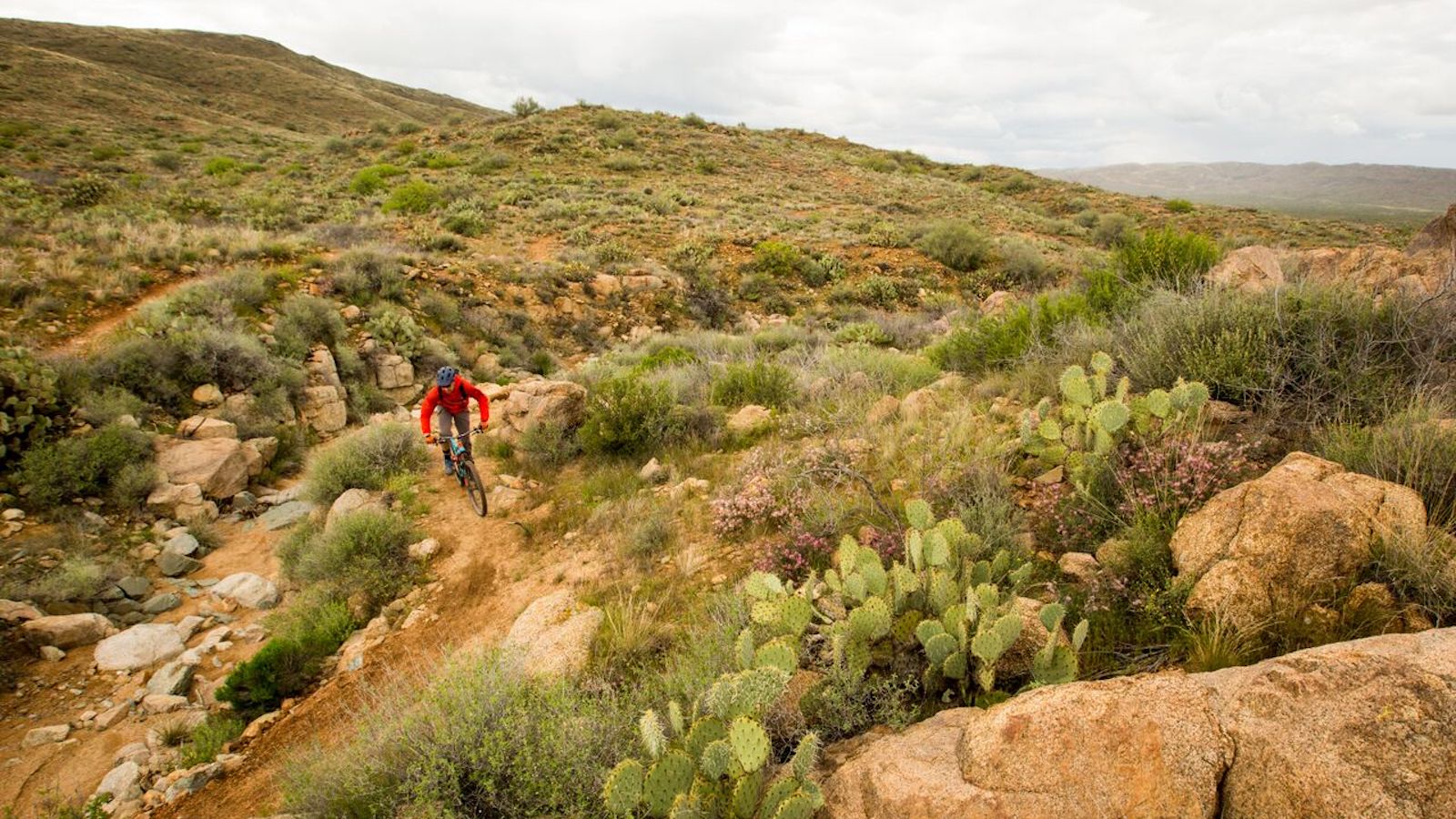
If you’re anywhere near Phoenix, Arizona, and you want a taste of desert bikepacking, this one-nighter through the Sonoran Desert is your go-to. Wild rocky scrub, huge empty spaces, tough canyons, and - hurrah - singletrack that weaves through swathes of the iconic saguaro cactus, which can grow up to 12 meters tall, will see you on your way.
It’s a perfect late autumn and early spring route; it’s rideable all through winter, but it can get super-cold at night. Amazingly, as well as cactus and juniper, the route takes you through a lush canyon of walnut and oak trees, and you may encounter a number of river crossings. Go in spring, and you may see the desert bursting into flower. Summer, not surprisingly, will fry you.
This ride is usually done as a point to point but there are variations, including the 277-mile Fool’s Loop straight out of central Phoenix, for more experienced desert riders.
- Three words: Cacti, iconic desert
- What bike: MTB
- How remote: Not surprisingly, it can be super-hostile in summer. One resupply point around 45 miles
- Start and finish: The start is just south of Prescott and the finish just north of Phoenix
- Getting there: Riders often arrange a shuttle
- Best times: Late autumn and early spring: November to April
- Route details: Black Canyon Trail
Northeast
Green Mountain Gravel Growler, Vermont
248 miles, 21,000ft, 4 nights
This is as much a tour of Vermont’s fine smalltown eateries and microbreweries as it is a meander through its countryside. Not that the countryside is to be sniffed at: this sparsely populated state right near the Canadian border is home to quiet and stunning New England landscapes, quintessential red barns, extraordinary fall foliage and some really evil gradients on its endless miles of unpaved roads and tracks.
But back to the beer… Vermont produces many of the top craft beers in the US, and this route proposes an agreeable daily itinerary to make the most of the many microbreweries, taprooms and restaurants that it deliberately links together by sweet gravel, singletrack and stretches of infamously degraded ‘class 4’ roads. A match made in heaven.
- Three words: Foliage, climbing, beer
- What bike: Gravel with 40mm+ tires
- How remote: Plenty of small towns along the way
- Start and finish: Burlington, Vermont
- Getting there: You can fly or take the train to Burlington, where this loop starts
- Best times: Late summer to autumn
- Route details: Green Mountain Gravel Growler
Great Allegheny Passage and the C&O Canal Towpath, Pennsylvania, Maryland and Washington DC
335 miles, 7,000ft, 3-9 nights
Quite different from the other expeditions here, this is a gentle but beautiful route that’s ideal for bikepacking beginners: super-accessible, and dotted with campsites and accommodation, markets and eateries. After a long stretch alongside the winding Youghiogheny River you’ll eventually climb to the top of the Eastern Continental Divide at 2,392 feet, but it’s super-gradual - the gradient is rarely over 1%, as you’d expect from a disused railway line.
Similarly, the second part along the C&O Canal Towpath will rarely require much gear changing, though as a former mule route, the surface will be a little rougher than the crushed limestone of the GAP.
You’ll be amazed at how remote this ride feels in places, and how glorious the views are. It’s well worth descending from the trail to towns along the way for coffee and snacks, and stocking up for the less populated second half.
- Three words: Gentle, exploratory, beautiful
- What bike: Gravel or hardtail. 35mm tires are fine
- How remote: A well-traveled route with frequent towns nearby, especially in the first half.
- Start and finish: Pittsburgh, Pennsylvania, to Washington, DC
- Getting there: The start and finish cities are a four-hour car ride apart and well served by public transport
- Best times: All year, especially June to August
- Route details: Great Allegheny Passage and the C&O Canal Towpath
Southeast
Trans North Georgia
350 miles, 56,000ft, 5-8 nights
You may not have heard much about the southern US state of Georgia, but it’s seven times the size of Wales, and spans a tantalizing mix of coast and mountains. The beautiful and ancient Appalachian Mountains are the focus of this epic bikepacking trip, on the route of a famed annual race.
It’s seriously hilly - in fact, it averages more climbing per mile than the Colorado Trail (160ft vs 133ft) - so it’s not for you if you’re not on top form. There’s some semi-technical singletrack, plenty of rooty dirt, river crossings, waterfalls… you won’t get bored. There are even occasional stretches of a disused railway, for when your legs are about to burst, and plenty of wildlife too, not least wild turkeys and coyotes. And because it’s full of deep forests and ridges, you can expect fallen trees and washed-out segments of the trail to add some hike a bike to proceedings. It brings race competitors to tears, but when you’re not riding it against the clock, it’s all just part of the adventure, right?
- Three words: Lush, timeless, quad-busting
- What bike: MTB
- How remote: Very. Four small towns along the way
- Start and finish: The start and finish are in the middle of nowhere on the borders with South Carolina and Alabama respectively, each about a two-hour drive from Atlanta, Georgia.
- Getting there: Mulberry Gap Mountain Bike Getaway, based two-thirds of the way along, would be a brilliant base, and provide shuttles for a fee.
- Best times: April/May for the wildflowers, or September/October
- Route details: Trans North Georgia
All USA
Great Divide Mountain Bike Route (GDMBR)
3,083 miles, 200,000 ft, 6-10 weeks
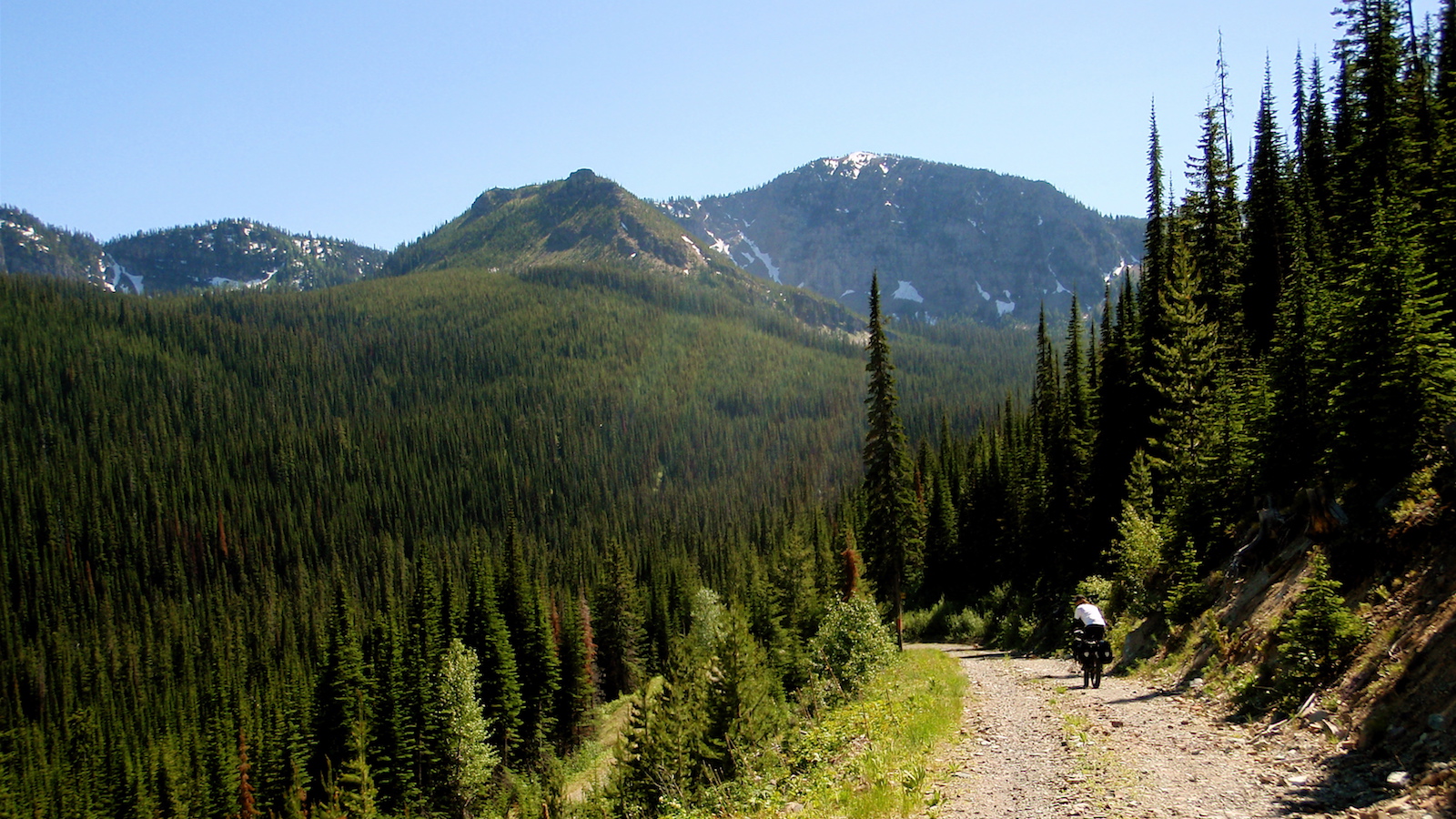
This is the granddaddy of long-distance off-road routes, finished in 1997 by the Adventure Cycling Association. It’s the foundation of the modern culture of bikepacking. Astonishingly almost all rideable, it takes you on dirt roads and jeep trails from Banff, in Alberta, Canada, to the Mexican border in New Mexico, via British Columbia, Montana, Idaho, Wyoming, and Colorado. It’s 90% off-road, with less than 5% singletrack.
Traversing the spine of the continent and crossing the Continental Divide 30 times, there’s no shortage of climbing, and the states it passes through are like a Top Trumps of North American landscapes. Wild plains, jaw-dropping mountain views, classic desert, pine forests and snowy passes – it’s all here. There’s no such thing as certainty in bikepacking, but the number of online resources around the GDMBR – including regular maps addenda on trail conditions and closures from the Adventure Cycling Association – means that you can totally nerd out on your preparation.
Tour Divide racer winners may smash the whole route in a fortnight, but most riders would allow at least 6-8 weeks, with time to loll in pools, enjoy company and rest when you need to, and be sanguine about setbacks. Wild camping is plentiful, and hosted options – including cyclist-only lodgings! – are well documented. Truly a route to savor.
- Three words: Breathtaking, legendary, achievable
- What bike: Gravel (big tires) or MTB
- How remote: Food and water sources are 100 miles apart in places, and conditions can be extreme, especially in the high mountains. But resources are well documented.
- Start and finish: Banff, Canada, to Antelope Wells, New Mexico
- Getting there: Fly to Calgary near the start, and get a shuttle to civilization from the finish in Antelope Wells, which is in the middle of nowhere.
- Best times: June to September
- Route details: Great Divide Mountain Bike Route
Trans-America Trail
5,000 miles, 350,000ft, 8+ weeks
If the 2,700-mile North-South Great Divide Mountain Bike Route (above) seems too tame, the East-West Trans-America Trail route will give you plenty of scope for dreaming.
The Great Divide is high-profile, well documented and almost 100% rideable. By contrast, the Trans-America is little more than the annually-updated GPS file of a no-prizes race which has a seven-page website and a small Facebook page. It’s roughly based on a classic extreme motorbike route, around 70% off-road. It’s resolutely low-key, with an emphasis on overcoming your own challenges as they arise.
The five-part account by Tom and Sarah Swallow of riding the route before it became a race gives you an evocative picture of stunning landscapes, wild weather and human kindness. It’s also about adapting safely on the fly when you are forced to reroute by massive rockslides, quagmires, deep sand or impassable rivers. From the tough technical riding of the Ozark mountains, to the mentally grueling plains of the midwest, the exposed high passes of the Rockies and the huge stretches of unpopulated Nevada desert, this is utterly character-forming stuff.
- Three words: Epic, isolated, independent
- What bike: MTB
- How remote: In places, ridiculously remote, in others, towns every day. You’ll need to go over the GPS file with a toothcomb and plan your own resupplies.
- Start and finish: Cape Lookout, North Carolina, to Port Orford, Oregon
- Getting there: Getting there will be the least of your problems.
- Best times: Normally raced in June, though late summer / early autumn may be more ideal
- Route details: Trans-America Trail
Sean has old school cycle touring in his blood, with a coast to coast USA ride and a number of month-long European tours in his very relaxed palmares. Also an enthusiastic midpack club cyclocross and XC racer, he loves his role as a junior cycle coach on the Kent/Sussex borders, and likes to squeeze in a one-day unsupported 100-miler on the South Downs Way at least once a year. Triathlon and adventure racing fit into his meandering cycling past, as does clattering around the Peak District on a rigid Stumpjumper back in the day.
Height: 173cm
Weight: 65kg
Rides: Specialized Chisel Comp; Canyon Inflite CF SLX; Canyon Aeroad; Roberts custom road bike
