Komoot's new Trail View mapping feature helps you actually see the trail when route planning
Using AI tech, Komoot has curated its community’s visual content to add trail images to its maps
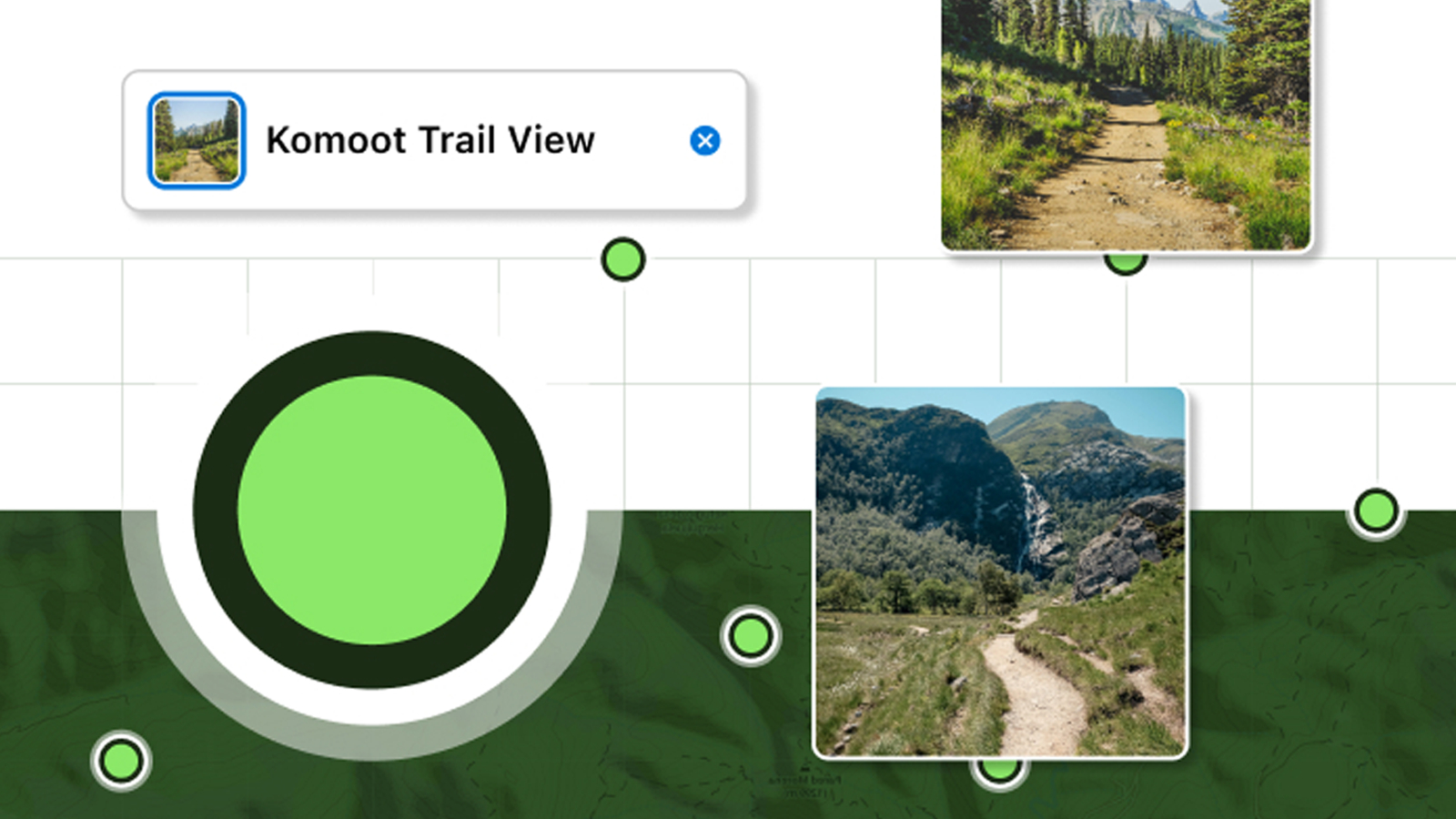
Komoot has launched a new tool for its route planner called Trail View. If you're unfamiliar with the platform, Komoot is a route planning and ride-sharing resource which is popularity for its mapping features which integrate points of interest and user-generated content. By using AI technology, Komoot has now curated all those trail images we cyclists like to take and integrated them into its web browser mapping.
Jonas Spengler, CTO at Komoot commented. "Product development at Komoot is geared towards leveraging the power of our outdoor collective out on the trails and finding innovative ways to enhance their outdoor experience by connecting everyone’s knowledge. And Trail View is such a great example of how innovation and AI intersect to empower people to plan better tours with confidence."
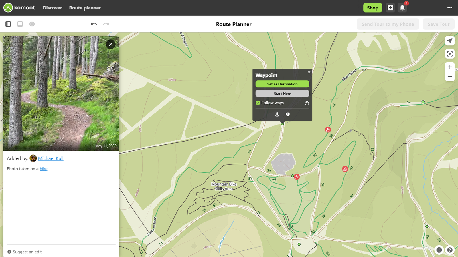
Anybody who has used Google Maps will be somewhat familiar with the concept of adding imagery to maps. For the meticulous route planners amongst us, switching between your preferred route planning app and Google Street View is standard practice. This could now be a thing of the past, as Komoot has added over 1 million images into its mapping so you can see pictures of tracks and trails.
We have all been on a ride where the dotted line on the map isn't what is actually on the ground, so the addition of these images should help take some of the guesswork out of route planning and potentially make Komoot one of the best apps for mountain biking and gravel riding. Being able to see sections of the trail will help riders assess conditions, a trail's difficulty, and help riders pick the most appropriate equipment such as the best mountain bike tires to ride.
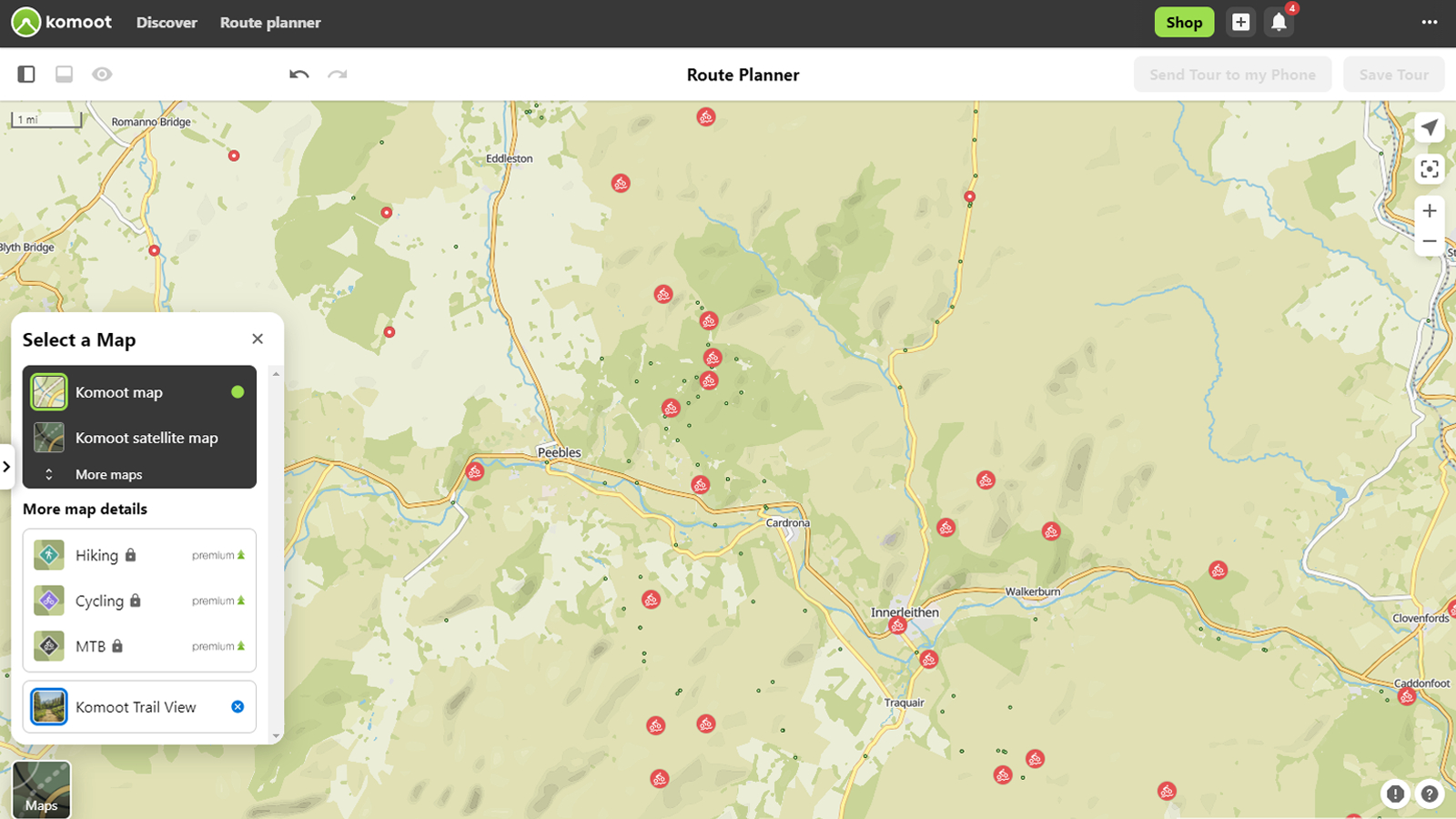
The images are turned on in the mapping layer tab and clearly shown as small green dots on the picture's location. Users can either hover over for a preview or click on them for a larger view. Once your route has been created, it can then be loaded to your best MTB GPS computer for navigation.
Komoot says that the AI software scans images and automatically identifies suitable images, removing any images that don't meet the required criteria (ie. images that include faces, animals, landscapes, buildings etc.). This is an ongoing process too, so as users upload more images, they will be added to the maps.
Everyone has their favorite route planning app, could this be the feature that wins you over when trying to choose between Komoot vs Strava?

Graham Cottingham joined the BikePerfect team as our senior tech writer in 2020. With over 20 years of riding experience, he has dabbled in downhill, enduro, and gravel racing. Not afraid of a challenge, Graham has embraced bikepacking over the last few years and likes nothing more than strapping some bags to his bike and covering big miles to explore Scotland's wildernesses. When he isn’t shredding the gnar in the Tweed Valley, sleeping in bushes, or tinkering with bikes, he is writing tech reviews for BikePerfect.
Rides: Cotic SolarisMax, Stooge MK4, 24 Bicycles Le Toy 3, Surly Steamroller
Height: 177cm
Weight: 71kg
