The C&O Canal Towpath: A bikepacking adventure for all levels
184.5 miles of car-free bliss from Washington DC to Cumberland, Maryland
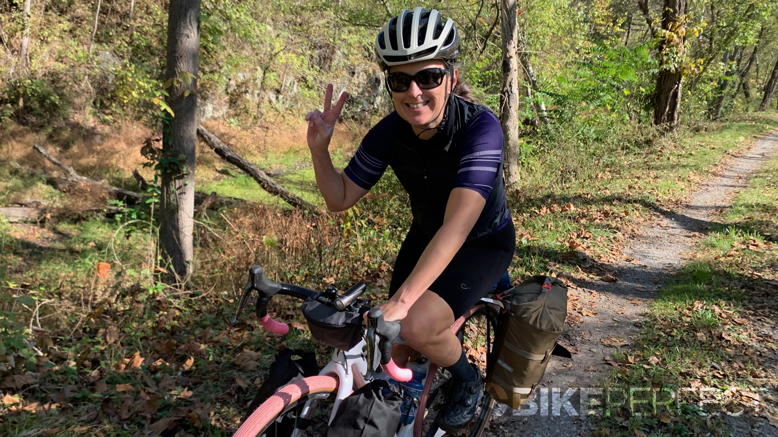
I've spent decades riding and racing bikes but it hadn't occurred to me to combine my enthusiasm for riding and my love of backcountry camping until this fall when, looking through the Google maps bicycle layer for interesting trails (as you do) I was reminded of the existence of the C&O Canal National Historical Park - a completely car-free path that is an easy drive away for anyone in the mid-Atlantic, Northeastern or Southeastern states.
Tucked amid the bustling streets of the Georgetown neighborhood in Washington DC is the eastern end of the 184.5-mile trail and, in far away Cumberland, Maryland is the western terminus. In between lies a relaxing gravel bikepacking adventure suitable for just about any level of rider.
Nearly completely flat, the route runs along the Potomac River on what was originally a towpath along the C&O Canal. Built between 1828 and 1850, the canal was the main artery for transporting lumber and coal from the Allegheny Mountains to the eastern seaboard until massive floods in 1924 effectively destroyed it.
The remnants of the 'Grand Old Ditch' were turned into a national park in 1971 - this year is its 50th anniversary - and as you ride, you'll pass the 74 lift locks that floated the riverboats from 610ft in Cumberland to sea level at Georgetown. Plan for a leisurely pace to take in the history of the canal - the locks, lock houses, dams, culverts, aqueducts and spillways all built by manual labor.
The C&O Canal towpath is a great starting point for anyone wanting to try out bikepacking in the USA for the first time, and we've got some useful bikepacking tips in our guide for beginners.
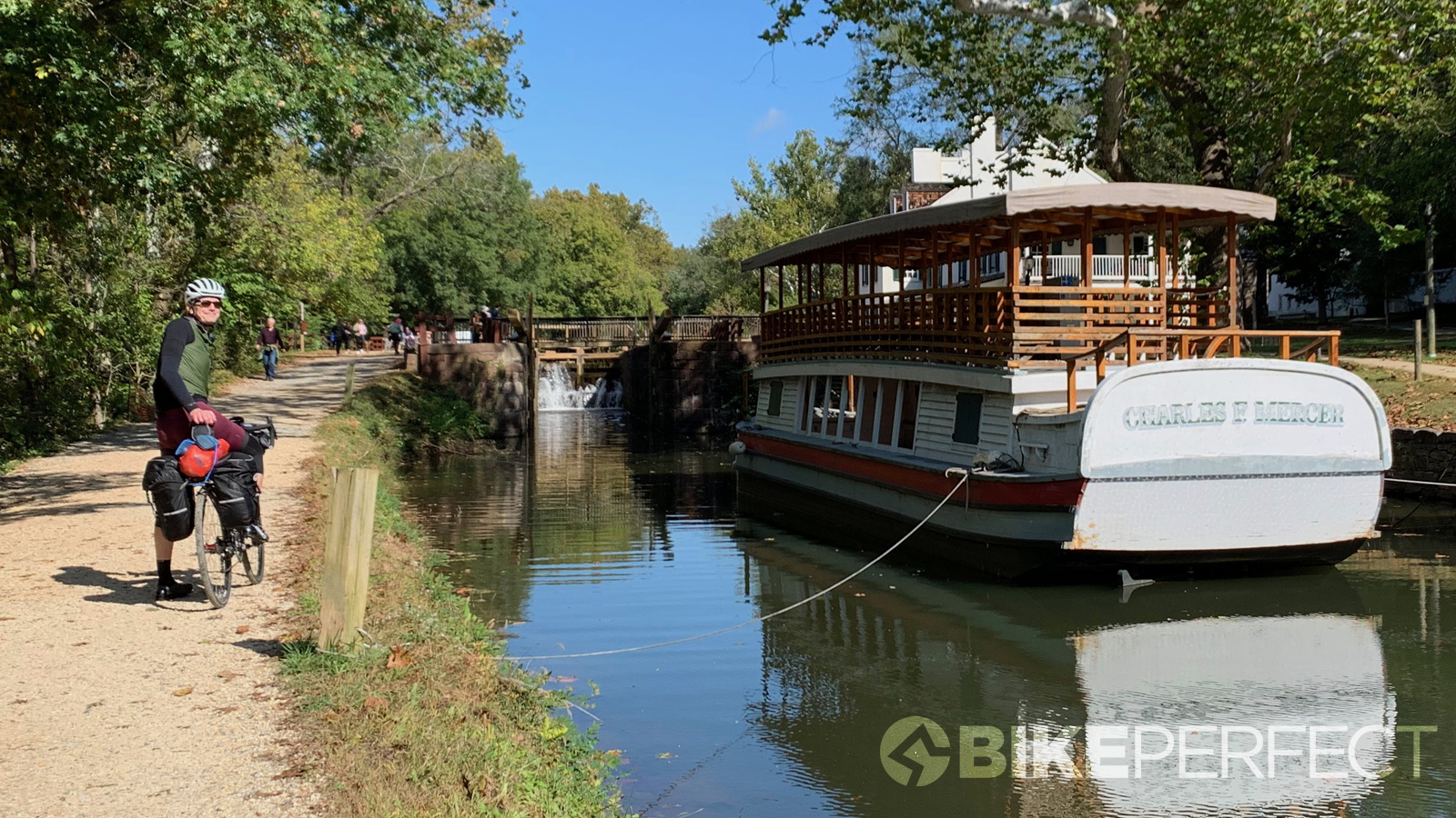
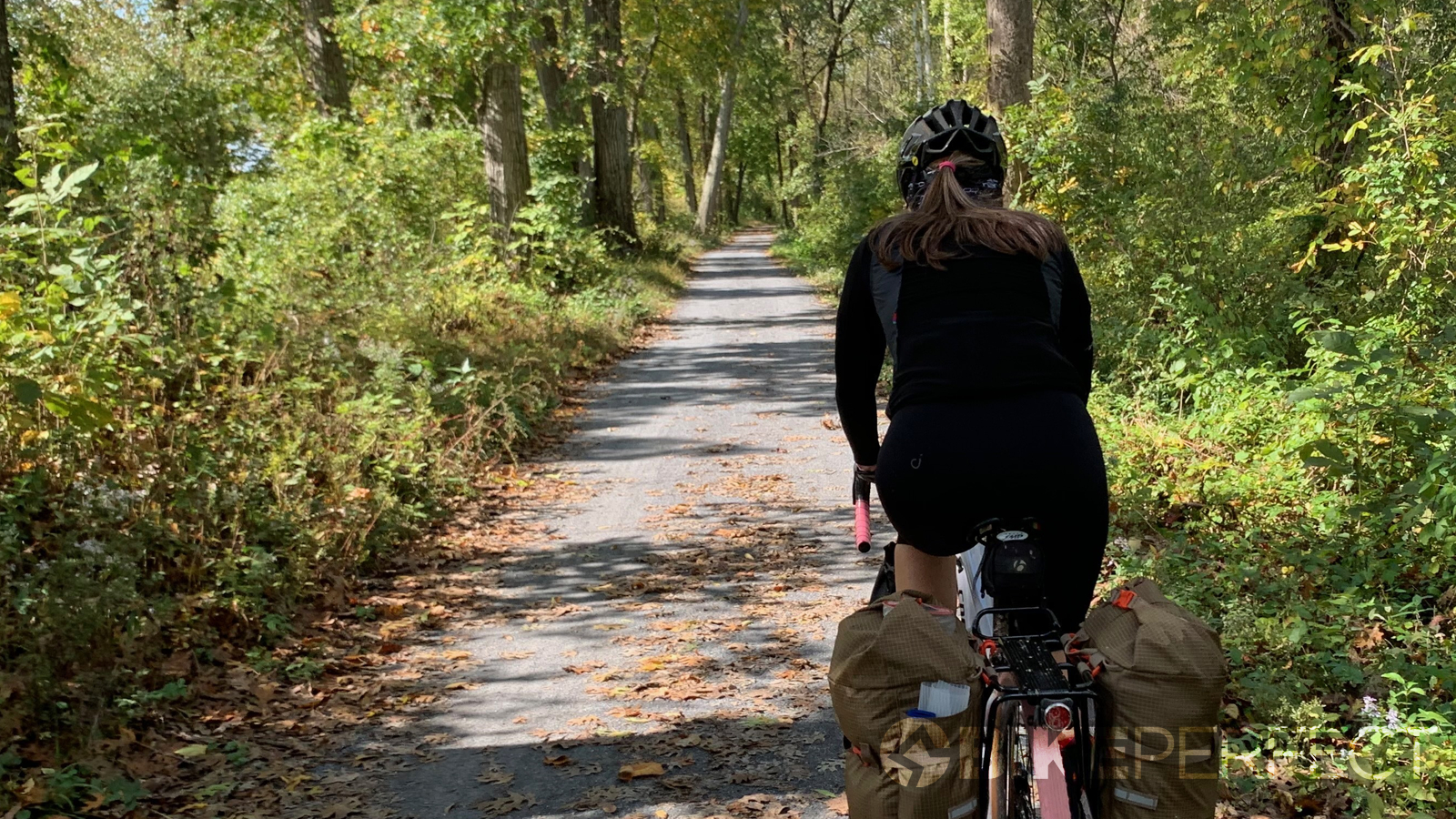
Riding the C&O Canal Towpath is deceptively difficult - although climbing up to the locks and dams or riding down through the various aqueducts is pretty much the only detectable elevation change along the entire route (except for the inevitable detours) - the surface is mainly fine gravel or cinders and, riding with the best bikepacking bags fully loaded, can be surprisingly tiring.
However, one does not need to ride fully loaded or camp to complete the trail - there are towns with restaurants and inns at regular intervals and, most commonly, riders will pack lightly and finish the ride in three or four days. But there are so many beautiful campsites along the trail, why not take advantage of them?
You can ride the trail from end to end or just a portion, and return by Amtrak, which serves Cumberland (mile 184.5), Harpers Ferry (mile 62) and Washington DC (mile 0). Be sure to book in advance for the bicycle rack, since there are only six bike holders on the train. We met a group who had to ship two bikes back because there were no slots left. You can also rent a car one way from either DC or Cumberland.
Want even more of a challenge? Combine the C&O with the Great Allegheny Passage which runs from Cumberland to Pittsburgh to add another 100 miles, including a long but gentle climb over the Eastern Continental Divide. By all accounts, this trail is more scenic and also has ample lodging and camping along its length for a flexible itinerary.
Finding the trail
The mile 0 post is notoriously difficult to find and not directly connected to the current-day trail. Tucked away across a footbridge past the Thompson's Boat House at the end of Virginia Ave NW, it's hardly worth the effort to officially start the trail at the marker. You'll have to backtrack to the Rock Creek Trail and head north almost to Pennsylvania Avenue before picking up the C&O Towpath.
We got a little lost after failing to find mile 0 and ended up on a very nice separated bike lane on K St. NW underneath the Whitehurst Freeway that runs into the Capital Crescent Trail. For the ultimate bikepacking setup, I'd recommend taking the paved Capital Crescent Trail, which parallels the towpath, over the Georgetown section, which can be very narrow, crowded and rough to ride. Don't miss this section, however - take some time the day before setting off to walk it. After riding a few miles on the CCT hop onto the towpath at Fletcher's Cove (mile 3 - bathrooms, water and snack bar available) or you'll end up off course.
The rest of the trail is simple to navigate - there are frequent restrooms, campsites and water - although some of the water pumps have been disabled. It's best to print out the status of remote water faucets before you go so you can plan when to stop for water.
Plan for a stop at the scenic Great Falls (mile 15) - there is no access to the park itself from the path but there are several nice views of the rapids - and make coffee stops in Brunswick, Shepherdstown or Hancock, where you will also find bike shops that carry everything you'll need - including chamois cream!
I'd recommend against stopping in Harpers Ferry unless you're traveling light, as the footbridge is a steep and long hike-a-bike and the town itself is quite hilly.
From DC to Brunswick, the trail is fairly rough and uneven. The park's service was resurfacing a large section of the trail near Harpers Ferry and for a good 20 miles or so we had a blissfully smooth ride before it went back to being rough. Watch out for roots and rocks - they'll always appear just as you reach for your bottle.
If you get tired of gravel, the paved 25-mile Western Maryland Rail Trail picks up after an especially rough, narrow and taxing section at Big Pool after Fort Frederick around mile 114. It's a bit of a relief, although there are some major frost-heaves on parts of the path to watch out for.
Take the WMRT and you'll pass a historic graveyard and find a shortcut to the Blue Goose Fruit Market and Bakery in Hancock as well as easy access to the C&O Bicycle Repair Shop, groceries and restaurants down the trail. Hancock is pretty much the last place for food until Cumberland, although there is a gas station in Paw Paw that's easy to access from the trail. The WMRT ends right at Little Orleans and parallels the C&O the whole time, so you can ride as much or as little of the paved path as you like.
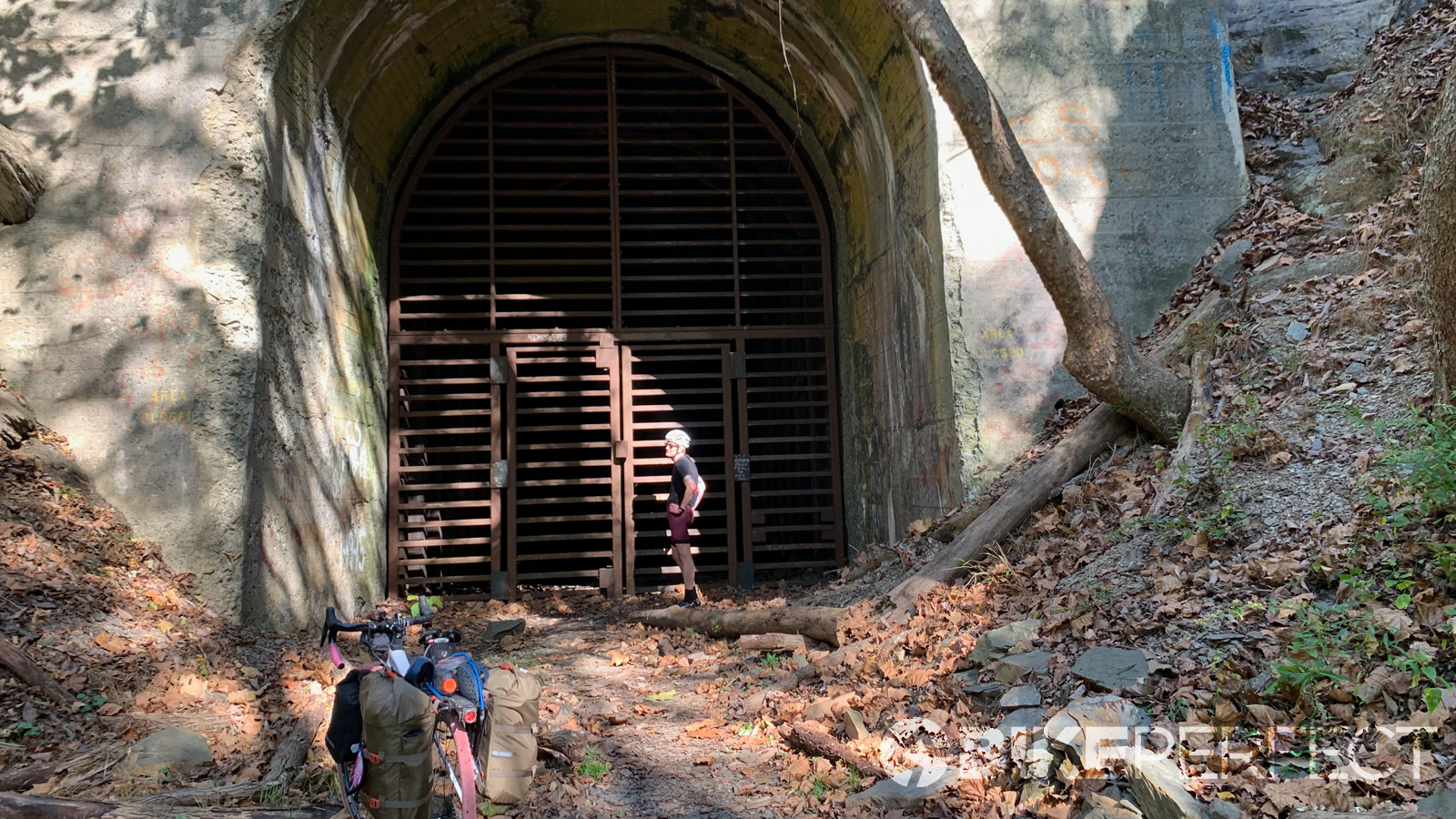
After Little Orleans, you'll find the famous Paw Paw tunnel. It's a narrow lumpy path along the canal inside this 1km long tunnel which was so difficult to construct it nearly bankrupted the entire project. It's rumored to be haunted, but we didn't see any ghosts when we backtracked from our shuttle detour to ride it (more below).
The final 30 miles into Cumberland are fairly remote and offer plenty of quiet and solitude. The trail is sparsely used here and we only saw other bikepackers, chipmunks, squirrels and ducks. It turns into singletrack on the outskirts of Cumberland and crosses a few roads, running along rural backyards before opening up to a breathtaking and welcome view of your final destination.
Detours
Be sure to check the National Park Service web page for information on detours and closures on the trail. When we went, there were four detours - two very short re-routes around washed out sections, one longer road detour around mile 88-89 that included a very difficult hike-a-bike up from the trail to the road, and the positively bonkers hike-a-bike detour around the Paw Paw tunnel closure which we opted to shuttle past. The park's detour takes riders over a steep hiking trail that climbs the mountain the tunnel goes through and it can be treacherous when wet.
There are gravel forest roads that can be used as an alternative detour, adding 10 miles to the trip and a lot of steep ups and downs.
How long will it take?
The number of days it will take to finish 184.5 miles depends entirely on your pain threshold. Maybe you want to try to break the fastest known time (under 11 hours), maybe you only have a weekend and want to blast through. Three days is a reasonable length of time for those traveling light, with hotel stops in Harpers Ferry or Shepherdstown and Hancock. We took four days and had plenty of time to see the sights.
The length of your itinerary will depend on whether you want to camp or pay for an inn. The hiker/biker campsites along the trail are free. All have portable toilets or restrooms and picnic tables, most have water, but they vary in size. Some are just clearings along the trail, some are close to roads or train tracks, and others are lovely fields next to the Potomac. Google maps street view layer has a full recording of the entire trail so you can preview the sites and read reviews.
If I were to do it again, I'd skip camping at the Brunswick Family Campground which puts the tent sites directly across the tracks from a major train switching yard that makes startlingly loud bangs and screeches all night long. If you do stay there, pay extra for an RV site that's farther from the tracks.
It might be fun to stay the first night in one of the Lockhouses which can be rented through canaltrust.org since most of the camping options between mile 42 and Harpers Ferry are very close to active rail lines. The Little Orleans campground is a cool spot for camping or you can rent a vintage camper turned into a cabin. But the ride to the campground involves a very steep climb and is not for the faint of heart. On the final 40-mile section we passed some incredibly beautiful sites that made for great lunch stops.
When to go?
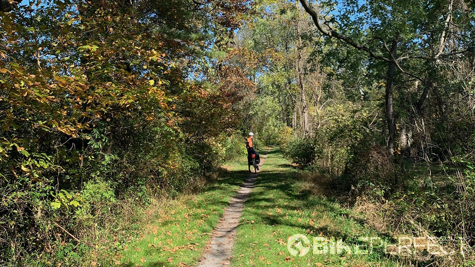
Autumn is definitely the best time to ride the C&O Trail. It's the driest months of the year and as the temperatures get cooler at night the mosquito activity dies down. The warm days make for pleasant riding while crisp evenings are great for sitting around a campfire.
Spring would also be lovely as long as the weather is dry. The trail gets quite muddy in the rain and camping would be less pleasant in the wet.
If you just want to ride a section of the trail, you could go any time of the year - it's shady in summer and sunny in the winter. The path can be quite crowded from Georgetown to Great Falls, especially on weekends, and also near Harpers Ferry. You might spot Appalachian Trail thru-hikers during the spring and fall as the Appalachian Trail uses the C&O for a stretch near Harpers Ferry.
Who should ride it?
The trail is absolutely suitable for any level of rider, and be sure to check out our complete guide to bikepacking if you're new to it. Bring the kids and do the section from DC to Harpers Ferry over three days.
Roadies should plan to go with wide tires and bring spares - the crushed stone surface has some cinders that can cause punctures. Cyclo-crossers, bring your file treads, gravel riders - go with tubeless, and mountain bikers can leave the deep knobbies behind. Check out our guide to the best bikes for bikepacking if you're not sure what to bring.
For me, it was super satisfying to have completed the trail and my first bikepacking adventure. It was just a taste of what is possible with a bicycle and I can't wait to get back out on the trails.
Stay tuned for my full gear breakdown including how I converted my Specialized Diverge to a touring bike.
Thirsty for more? Why not plan your next adventure along 10 of the best USA bikepacking routes.
Laura is a former elite-level road racer who has dabbled in cyclo-cross and track. When not working, she likes to go camping and explore lesser traveled roads, paths and gravel tracks. Laura has been with Cyclingnews since 2006 after making a switch from a career in science.
